The line at a glance.
Take the route offline.
Download the GPX and carry an offline basemap plus backup.
Download GPX ↓Plan the ride.
June-July · Challenge
- Trail ride type: MTB
- Recommended direction: Point-to-point
- Location: Blaine County
- Track recorded: 2026-07-01
- Start: 43.75763, -114.40193
- Finish: 43.68154, -114.37051
This GPX track covers 16.1 mi with 2,304 feet of filtered elevation gain. The moving time is 2 hr 51 min. Use the sections below to add the field knowledge a GPX cannot capture.
01Route character
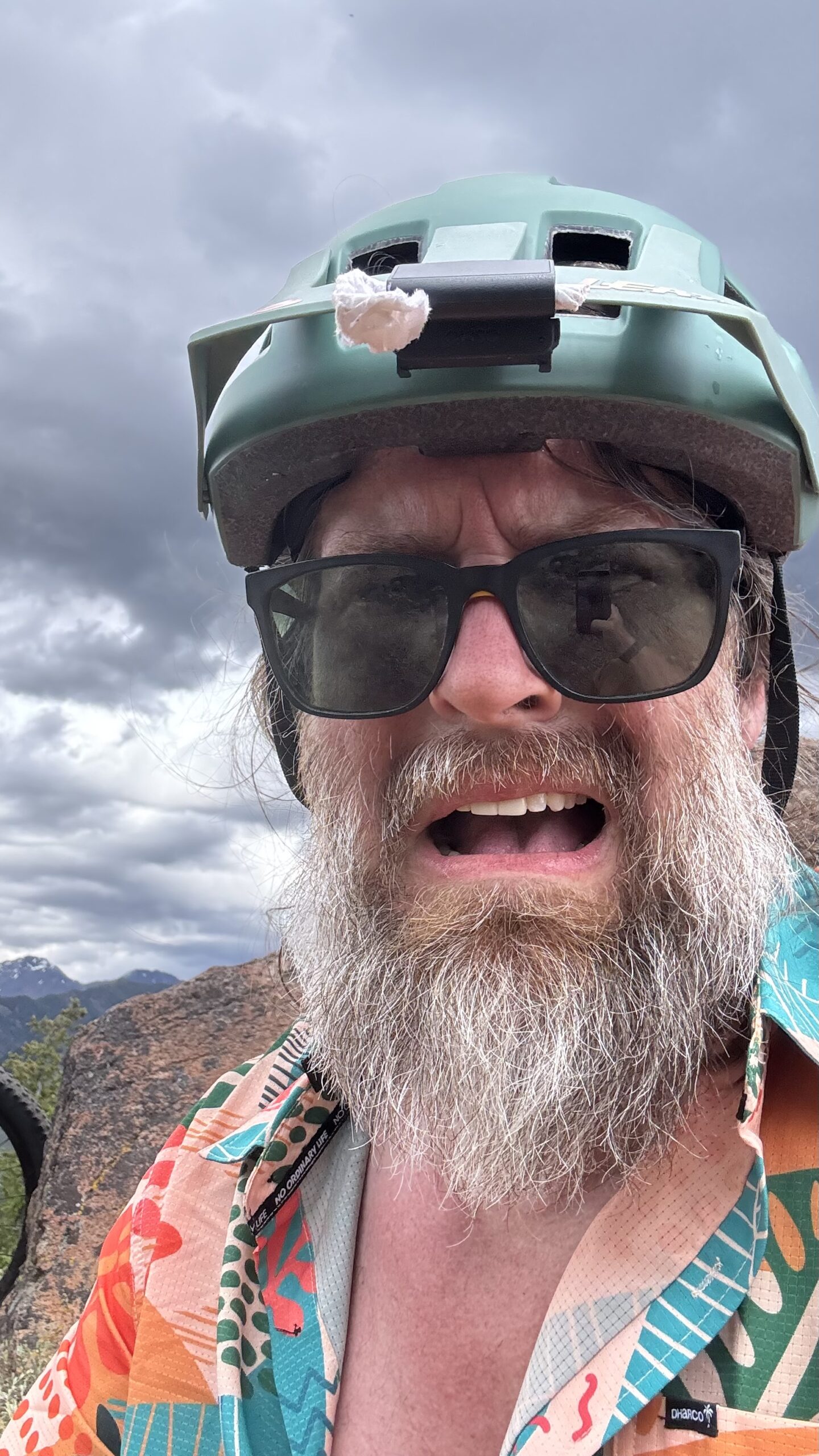
What started off as a nice, dirt path in the woods, quickly became shale and soft in the rugged areas of the mountain, the scenery was worth every slow movement on the descent. A magical experience, challenging elevation, but a goal to get back into town. Worth every minute.
02Water and resupply
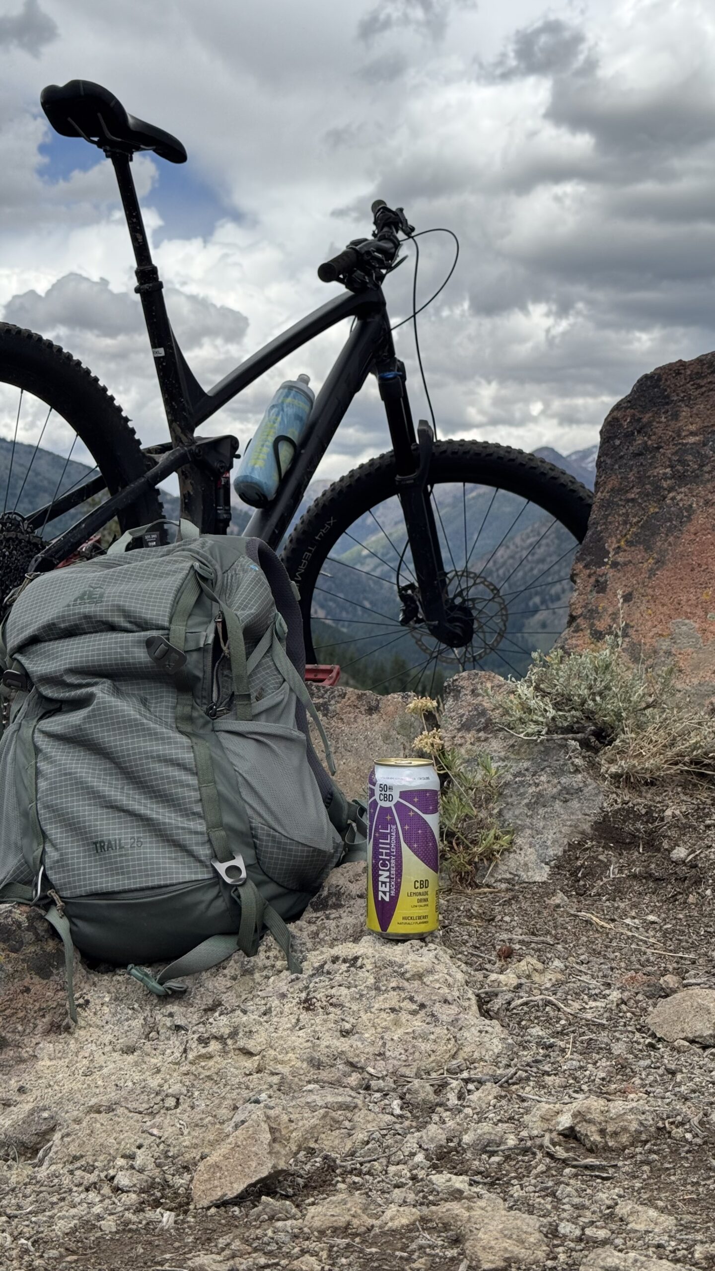
I went ahead and packed a few snacks for myself. Having a few of my premade granola bars, and some fresh fruit stashed away gave me what I needed, when i needed it. To hydrate, I ran out a little over halfway through, only needing due to the elevation (heavy breathing) causing my palate to dry out. I finished the ride with a trusty recovery of CBD and lemonade. Relieves the aches and pains, and you wake up feeling refreshed and ready for another Journey.
03Camping and lodging
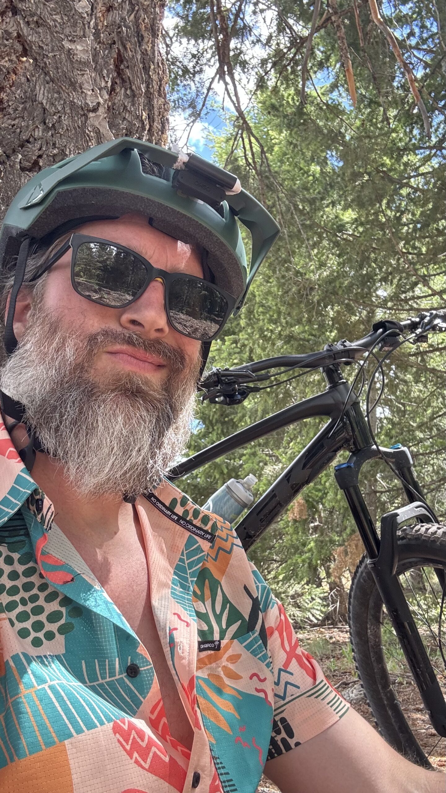
If we wanted to, or maybe with an e-bike, we could do this whole trail as a loop from our AirBNB stay in Sun Valley. The accommodations were spectacular. Pool and a sauna for soaking after a long day of tackling the mountain, 15 minute bike ride into town makes for a great place to leave the car parked for the week.
04Hazards, access, and bailouts
the good thing to note is there are plenty of options to "get off the trail". Since we are using multiple of the Blaine County and Idaho Forestry Departments trails systems, each of the trails we take can lead you back to the greenway/main road to town. Great for anyone who may have issues during any part of this ride.
Getting there and access.
To get started here, we were dropped off at the Chocolate gulch Trail head.
Before you go
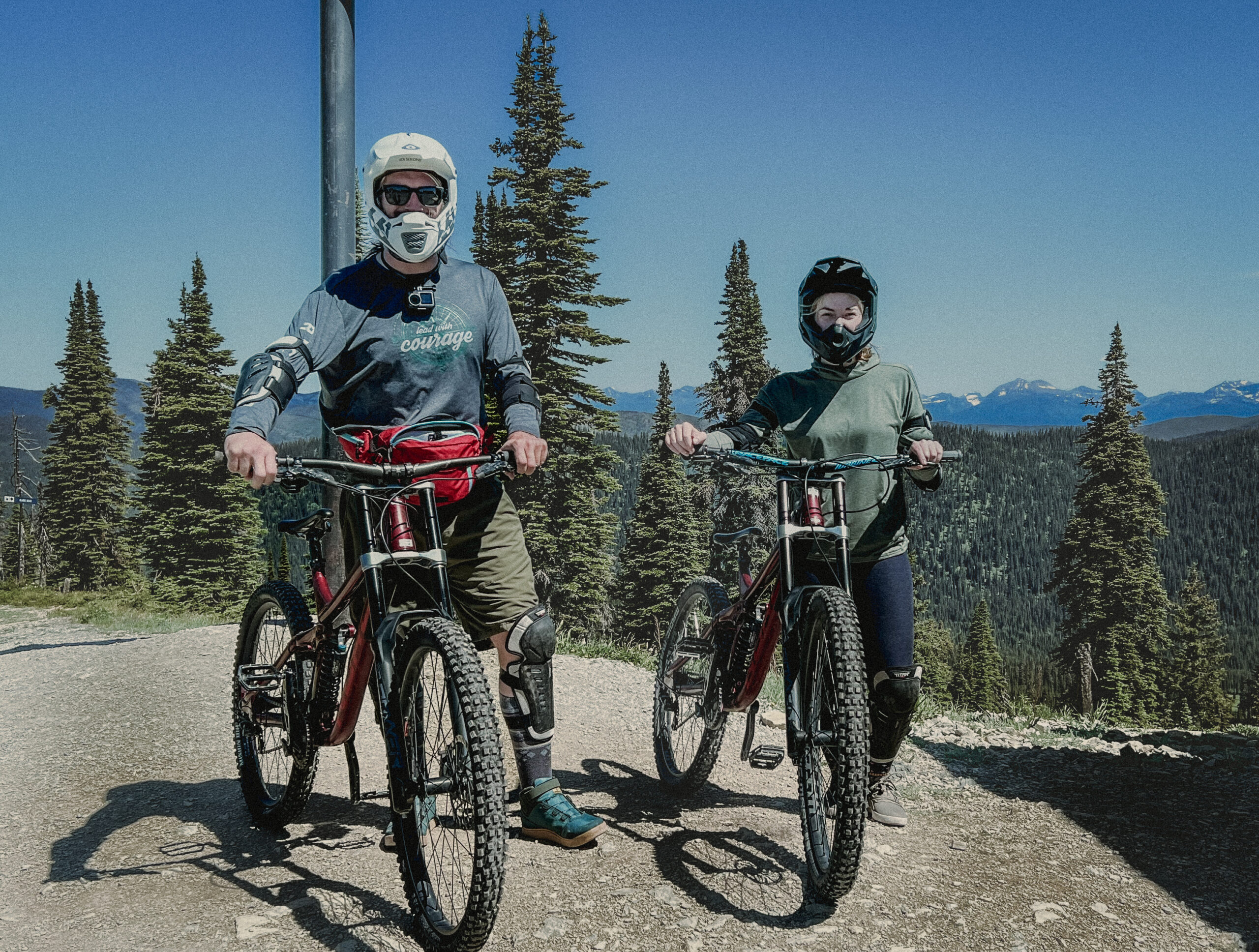
- ✓ Make sure to pack plenty of water, a few snacks, and a camera to capture the moment.
Plan with trusted sources.
Confirm destination-specific rules, closures, weather, and safety information before every trip.
- Biking Backpack — You'll Need Storage
- DJI Action Camera — Capture the Moment
- Garmin Bike Computer — In case you get lost