Take the route offline.
Download the current GPX, import it into your preferred navigation app, and carry an offline basemap plus backup. Always verify access and conditions before departure.
Built for capable travelers who value remote camp spots over fast mileage, this loop stitches together graded dirt, sandy two-track, and short technical connectors.
01Route character
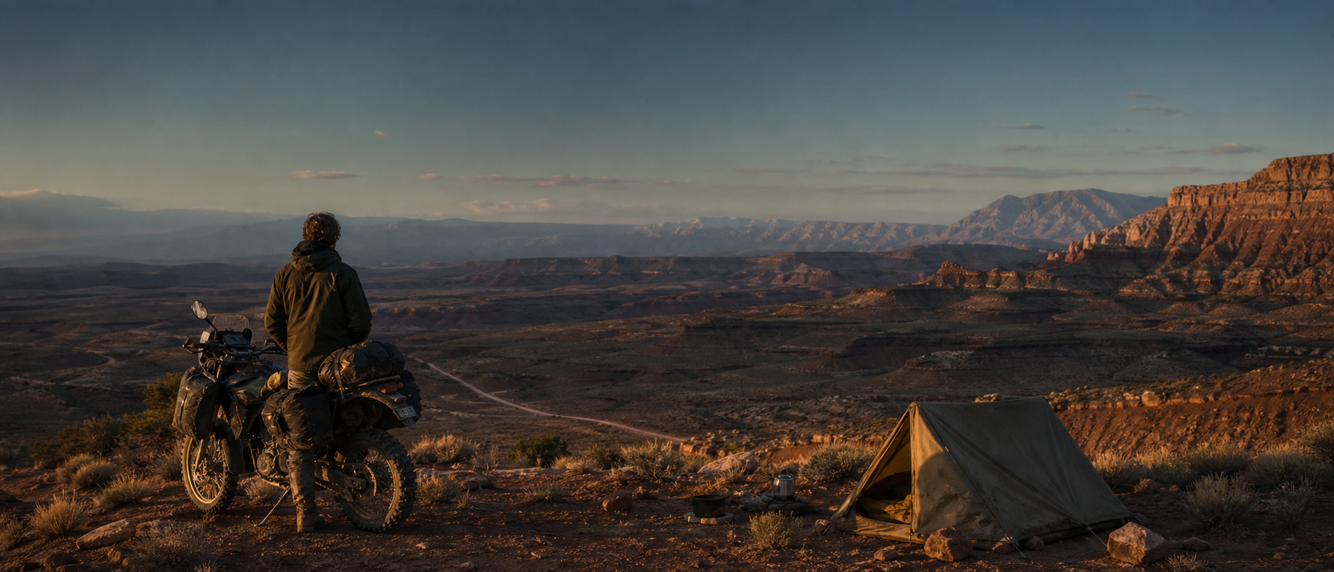
Expect long exposed sections, limited shade, and surfaces that change quickly after weather. The payoff is continuous scale: broad benches, canyon overlooks, and camps far beyond the reach of casual traffic.
“Save some daylight for the final ridge—the surface is easy, but the view will stop you every five minutes.”
Local route contributorPre-trip route briefing
02Water and resupply
Carry capacity for a full day plus contingency. Reliable resupply appears near the midpoint; seasonal sources should never be assumed. Top off whenever a verified source is available and confirm current conditions before departure.

03Camping strategy
The strongest camps fall near miles 42, 88, 126, and 161. Use established surfaces, avoid fragile soil, and expect strong evening wind on exposed benches. The mile-126 option provides the best weather protection.

04Hazards and bailouts
Do not enter the clay sections during or immediately after rain. Heat exposure, soft sand, and long gaps without traffic are the main concerns. Bailout connectors appear at miles 61 and 139; download both before leaving service.

Before you go
- ✓ Download GPX and offline basemap
- ✓ Verify roads after recent weather
- ✓ Carry 6–8 liters of water capacity
- ✓ Pack tire repair and emergency shelter
Plan with trusted sources.
Use these links as a starting point, then confirm destination-specific rules, closures, weather, and safety information before every trip.
- USGS Topographic Maps — Download current topographic references for offline route preparation.
- NPS Trip Planning Guide — A practical planning and emergency-contact framework.
- Leave No Trace Principles — Plan camps and travel practices around durable, low-impact choices.
- NOAA Weather Safety — Review current hazard guidance before entering exposed terrain.
Route Film: High Desert Ramble
Embed the full YouTube route film here. Add chapters for terrain, camps, water, bike setup, and the final route recap.
TEMPLATE NOTE: Replace this module with a YouTube block when the episode is ready. Keep the title, short summary, chapters, and related links below it.